Campaign launched
Working with communities and local authorities to identify the areas most exposed to floods and cyclones, so we can prevent harm and reach people faster.
Working with communities and local authorities to identify the areas most exposed to floods and cyclones, so we can prevent harm and reach people faster.
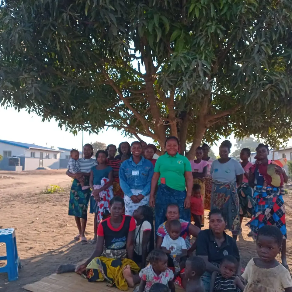
Sofala is hit by floods and cyclones every year, but many communities have no information on the risks in their neighbourhood and no plans to move families out in time. When an emergency strikes, help takes too long to find those most in need.
With community leaders, local risk management committees and the authorities, we map the most exposed areas, register the most vulnerable families and prepare community warning and evacuation plans.
Sofala is one of the Mozambican provinces hit hardest by floods, cyclones and droughts. Knowing where the most exposed families live is the first step to protecting them.
Through the mapping of vulnerable areas, ANANDJIRA works with community leaders, local committees and authorities to identify the risks in each neighbourhood and prepare a faster emergency response.
“Every hour gained in a warning saves lives: the map shows where to go first.”
Budget of US$ 2,821 · 180,000 MT. Every metical has a set purpose; at the end we publish what was spent.
Working with communities and local authorities to identify the areas most exposed to floods and cyclones, so we can prevent harm and reach people faster.
Once donations are confirmed they appear here (first name only, or "Anonymous").
To know, before an emergency, where the most exposed families live and how to reach them, and to guide the response afterwards.
No: public maps show areas, not people. Families' details stay with ANANDJIRA and the relevant authorities.
Community leaders, local risk management committees, activists trained by ANANDJIRA and the district authorities.
Campaigns